How it works
Capture
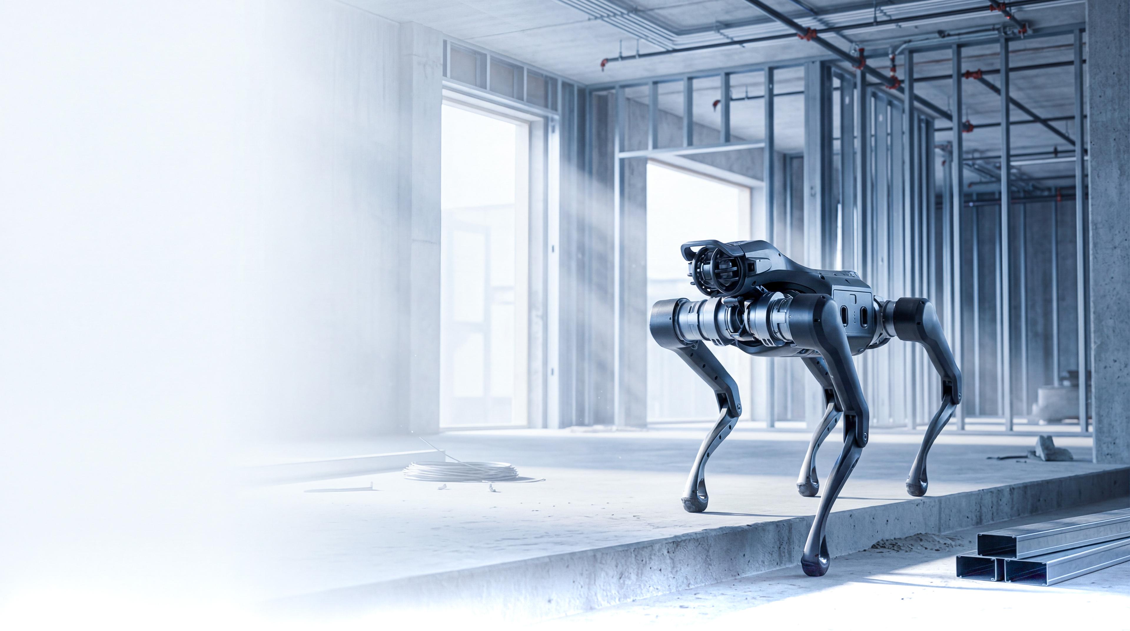
Robot scans the site
Analyze
AI processes the data
Deliver
Clear models and reports
Why it’s better
Blurry images
Clean 360° view
Missing context
Full site visibility
Manual effort
Automated capture
Slow reporting
Real-time updates
Scattered data
Structured timeline
3D Model
Navigate now
Strong team
behind ScantiX

Hannes Schulze
Chief Executive Officer
Strategy, Partnerships

Mara Ruperti
Creative Director
Design, Visual Direction

Finn Rothmann
Technical Lead
Robotics Systems

Hagen Rothmann
AI Automation
AI & Growth Specialist